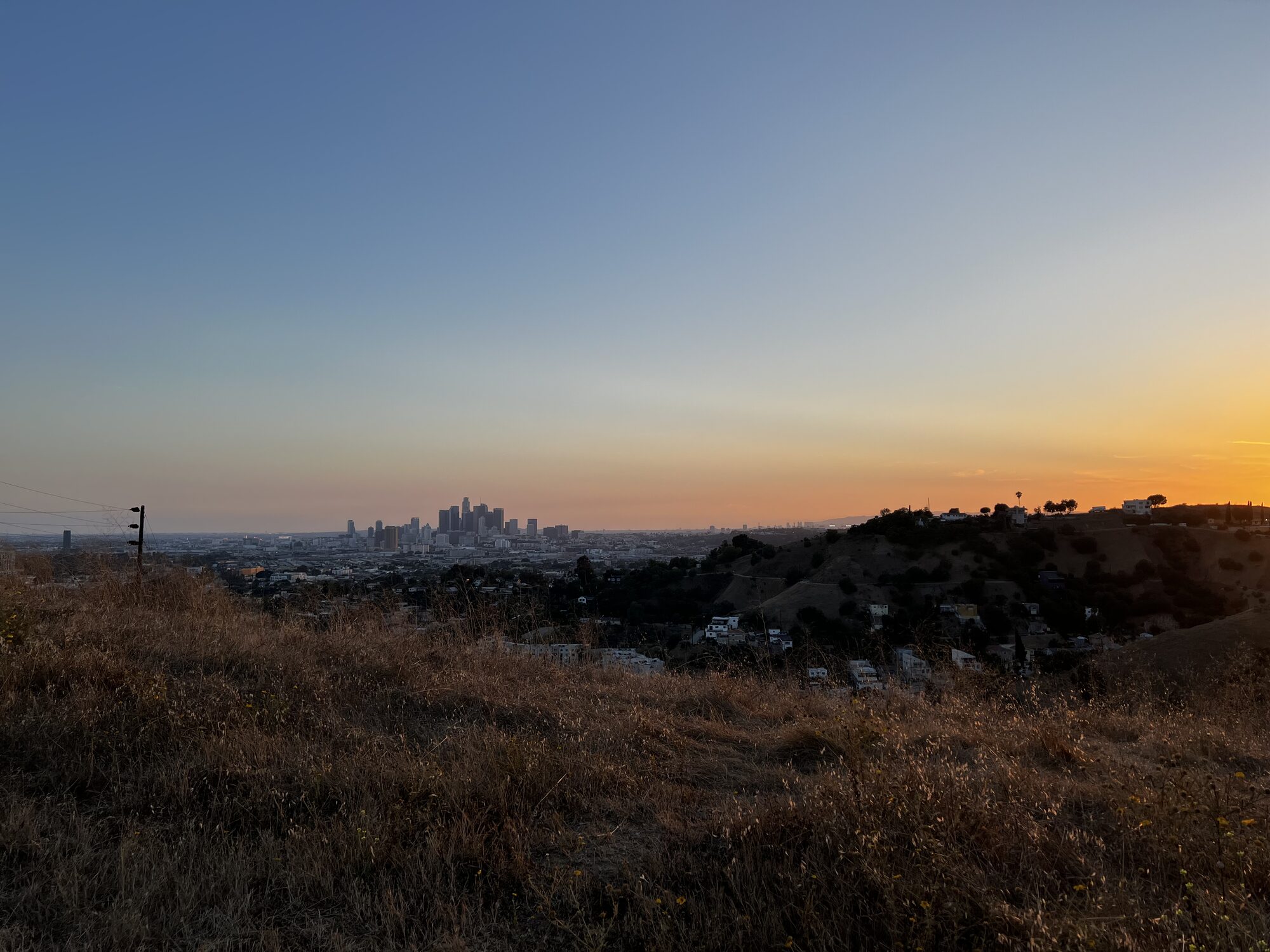
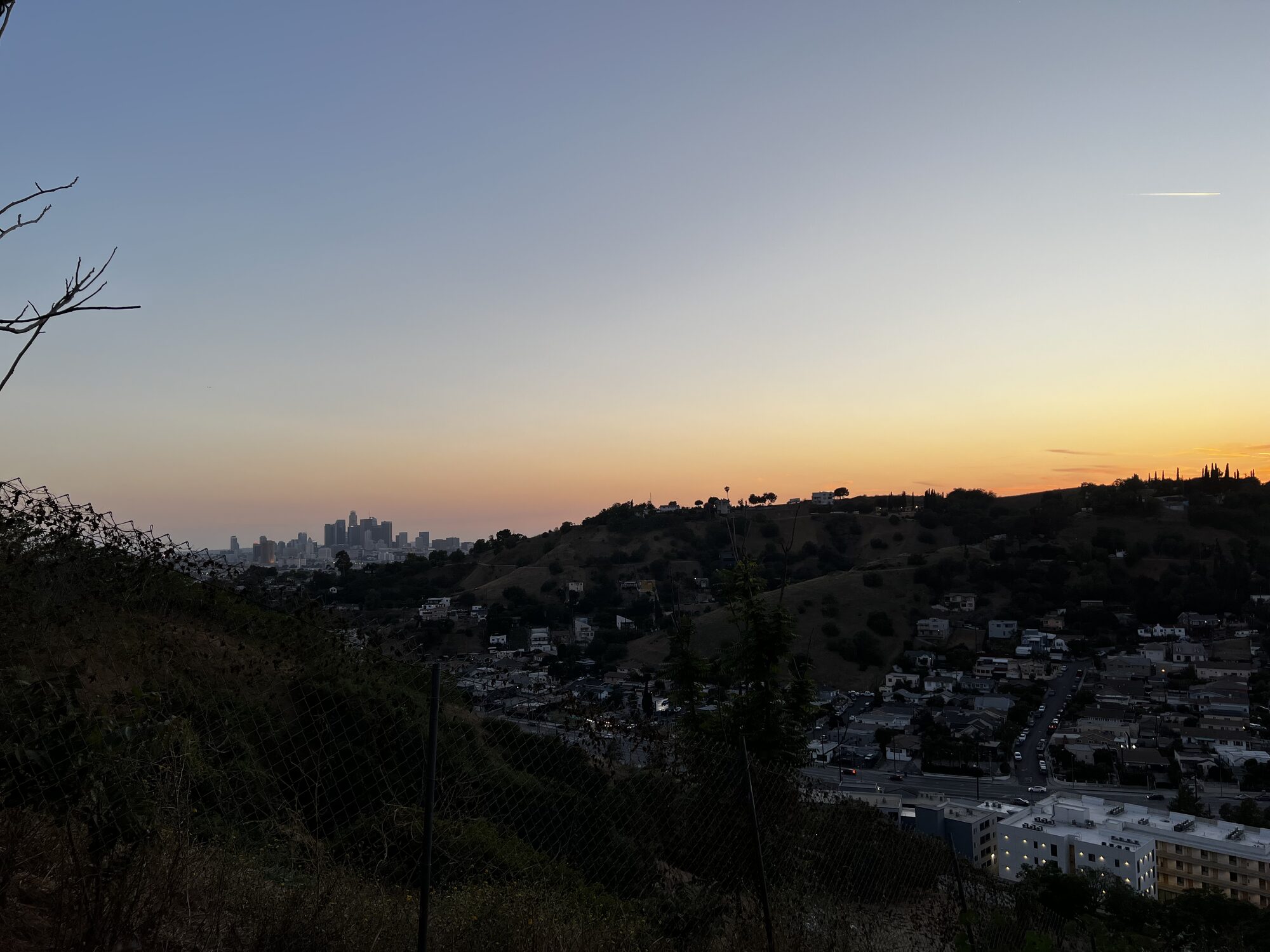
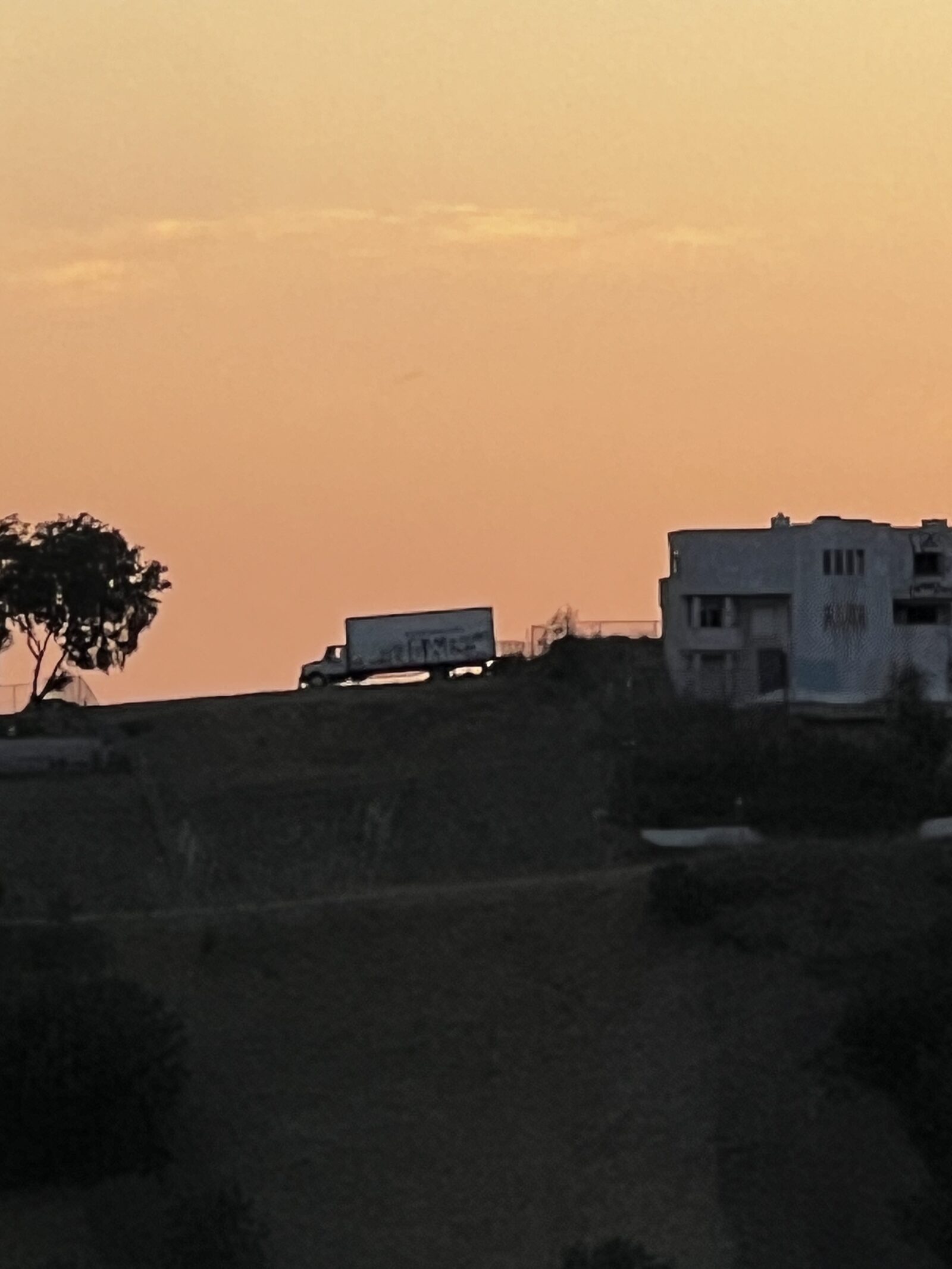
Land in the Los Angeles hills carries questions that a photograph can't answer. Here is everything the owner knows, including the parts that are unresolved. Verify all of it independently.
Zoned R1, designated Open Space Likely clears
The parcel is zoned [Q]R1-1D-HCR — single-family residential, hillside, with a Q condition attached. The General Plan land use designation is Open Space.
LAMC Sec. 12.08 B provides that where a lot carries an Open Space designation, the uses otherwise allowed in R1 require prior approval under Sec. 12.24.1. Sec. 12.24.1 B then lists the uses that section does not apply to, and the second item on that list is a use consisting of one single-family dwelling, including accessory uses.
Read together, a single house on this lot appears not to require a Land Use Determination from the City Planning Commission. Note that the separate exception route in Sec. 12.24.1 H is not available here — the Director is directed to disapprove an exception request where the property was vacant or undeveloped land. The case therefore rests on the single-family exclusion in Subsection B.
That is the owner's reading of the published code, not a determination by the City. The Q condition attached to the zoning has not yet been reviewed and may carry its own requirements. Take it to Los Angeles City Planning before relying on it.
Otero Drive is a paper street Open question
Otero Drive appears on the recorded subdivision map but was never improved or accepted by the City. Houses on the lots below reach their properties by way of a long-established dirt road.
A buyer should expect the City to test access before issuing a permit. LAMC Sec. 12.21 C.10(i) sets street dedication and roadway width requirements for new one-family construction on hillside lots, including a minimum improved roadway width for the vehicular access route. Order a preliminary title report to establish what access rights are actually recorded, and take the street condition to the Bureau of Engineering.
Kewanee is paved, and gated Open question
Kewanee Street is paved up to the parcel. There is a locked gate near its start, at the corner where the reservoir open space begins. The street is not a private street and people live along it, but the gate carries no signage and the owner has not established who controls it.
The likeliest explanations are a historic street vacation or a utility gate serving Ascot Reservoir. This is disclosed as unresolved rather than glossed over.
It clears the R1 minimum lot area Confirmed
R1 requires a minimum lot area of 5,000 square feet. At 5,604 square feet, this parcel is over that line — a threshold many small hillside lots in Los Angeles fail.
R1 also calls for a minimum lot width of 50 feet, and front, side and rear yards of 20% of lot depth (capped at 20 feet), 5 feet, and 15 feet respectively. Because the parcel is triangular, its width varies along its length and narrows to a point at the south end. How the City measures width here, and what building envelope survives the setbacks, are questions for a designer or land-use consultant to answer against a real survey.
Hillside construction rules apply Confirmed
The lot is inside a designated Hillside Area and the Northeast Los Angeles Hillside Construction Regulation District (ZI-2467). For hillside lots, maximum residential floor area is set by the slope of the land under the R1 Hillside Area development standards at LAMC Sec. 12.21 C.10, rather than by a flat ratio, and grading volumes and haul routes are separately constrained. Fire department access standards apply to any hillside build.
Property taxes will reset Confirmed
The current assessment reflects a 2023 base year under Proposition 13. On sale, the base year value resets to the purchase price, so a buyer's tax bill will not resemble the seller's. Budget from the offer price, not from the current roll.
Utilities are not connected Confirmed
This is raw land with no improvements. Overhead power lines run near the site. Confirm the cost and feasibility of service connections with LADWP before relying on them.
Sources — Los Angeles County Office of the Assessor (APN 5214-002-013) · City of Los Angeles ZIMAS, Address/Legal and Planning & Zoning records · owner's own site photography, 2026.
All information is provided in good faith and believed accurate, but is not warranted. Buyer to independently verify zoning, buildability, access, boundaries, utilities and all other material facts. Seller is not a licensed real estate agent and this is not an offer of agency.